
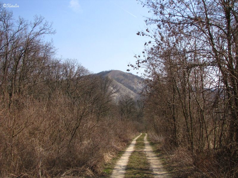
Fehér-út and Meszes-hegy (Limestone Hill)
The tourist route known as Fehér-út winds along the Nagykovácsi/Perbál/Zsámbék route.
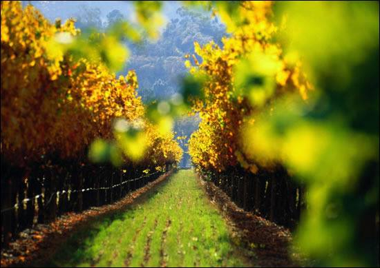
The name can be traced back to the Roman era, when traders still used this pavestone Roman route. Following the yellow triangle a picturesque view opens up of the settlement and the Zsámbék Basin, and the Vértes and Gerecse mountain ranges are also revealed in the distance.
A boundary stone on the triple border of Budajenő/Perbál/Nagykovácsi marks the settlements. This was erected at the time of the first “borderline marking” in Perbál.
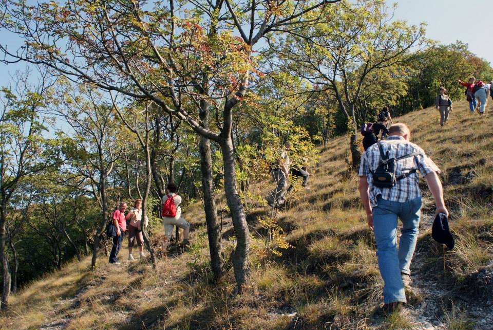
Clearings with wild flowers, grasses and ferns and groups of pine trees cover the terrain on the 412-meter-high ridge. The Meszes (Limestone Hill), referred to by locals simply as “Baldy”, stands opposite this peak, as a partner to the Zajnát. The highest point is 381 meters, and it is therefore one of the region’s lookout points, from where we can admire almost the entire basin. Meszes-hegy (Limestone Hill), which forms part of the territory of the Danube–Ipoly National Park Buda Region, is made even more valuable by the protected flora and fauna, the vegetation formations of oaks and grassland.
“FEHÉR-ÚT” AND MESZES-HEGY (LIMESTONE HILL)
Address: H-2074 Perbál, End of Szabadság utca
GPS: Starting point: 47.591733, 18.765196

Similar results
Gesztenyés (“Chestnut”) Park
2053 Herceghalom, Hrsz: 228/4.The redeveloped park is one of the most important points of the settlement because of its central location – it is definitely...
More
Cloister Garden
2072 Zsámbék, Akadémia u. 1,The Zsámbék garden, with its romantic atmosphere, resplendent with winding paths, stones, trees and flowers surrounded by a...
More
Etyek – Budai wine region
2091 EtyekFejér County’s the north-eastern edge we can find Etyek at the beginning of the Etyeki away.
More